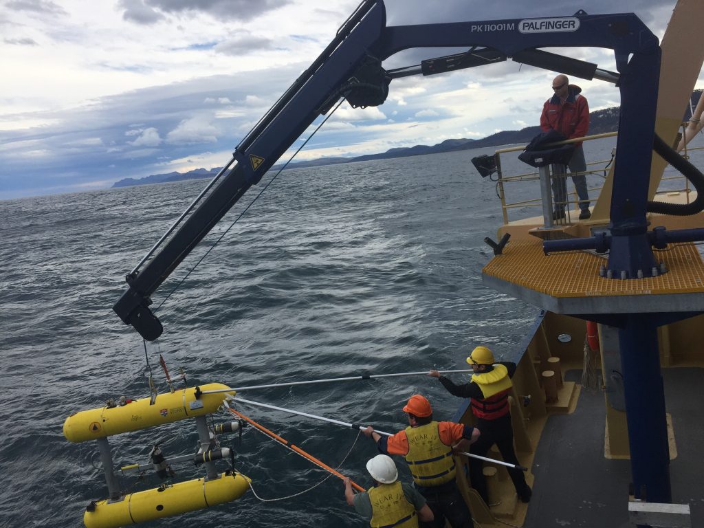
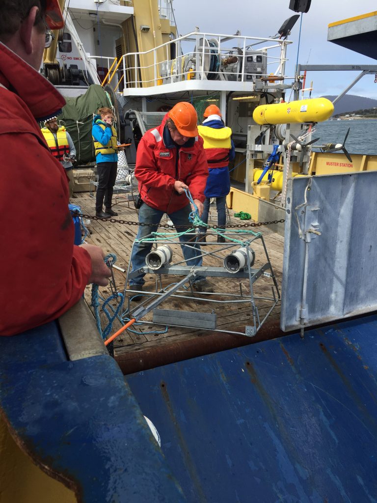
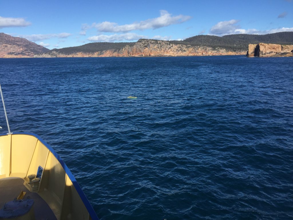
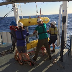
A number of our Marine Robotics team, including Christian Lees, Jorja Martin and Lachlan Toohey, have just returned from an eight day AUV surveying trip off the Central East Coast of Tasmania. The focus of this trip was on completing Habitat Surveys for the management of Commonwealth Marine Reserves in collaboration with IMAS. We were supported by the fearless crew of the Bluefin training vessel from AMC.
Very exciting news from Antikythera in Greece, where we conducted mapping with the AUV Sirius in 2014 and 2015. The archaeologists have announced the discovery of 2000 year old bones on the site. The map generated by our AUV is featured in this piece on the Nature News site and shows the location of some of the artefacts recovered from the site.
In early September 2015 we conducted surveys at sites on the Great Barrier Reef in collaboration with AIMS and JCU. This involved surveys at Myrmidon reef and a number of inner and outer edge reefs at sites to the south of Myrmidon, including Tink, Wilson and Faraday reefs. These sites are designed to be part of the long term monitoring program being supported by the facility.
In June, Christian, Oscar and Stefan spent a week in Greece at the site of the Antikythera shipwreck. We were once again working on mapping the site of this first century BC shipwreck. The 2015 AUV work is aimed at producing a complete map of the entire wreck site to provide divers with a detailed map with which to plan excavations and log finds during the diving operations to take place later in the year.
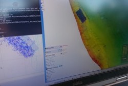
Screenshot of the tracking software
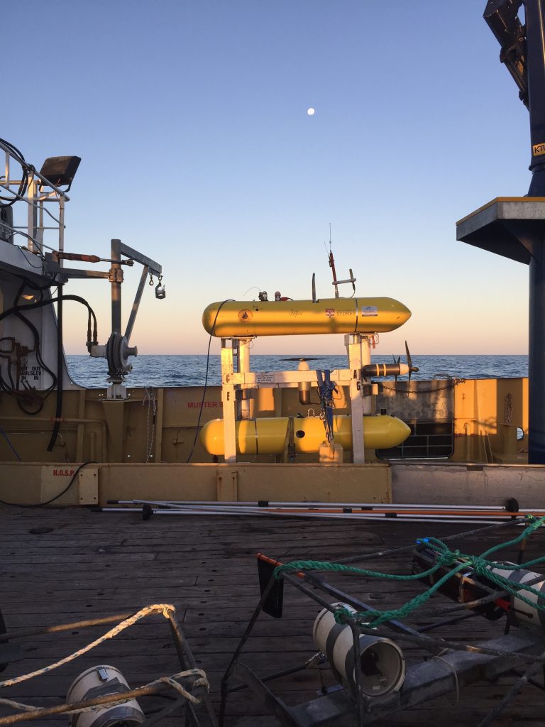
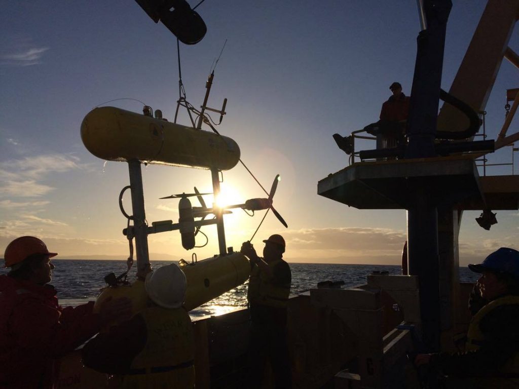
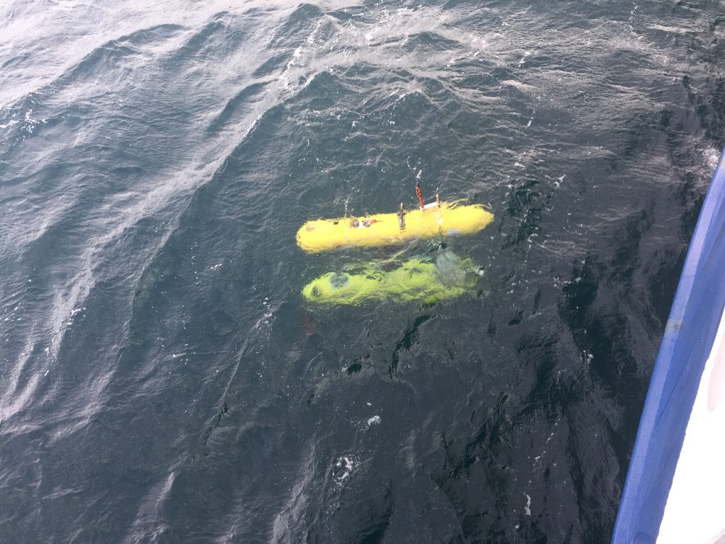
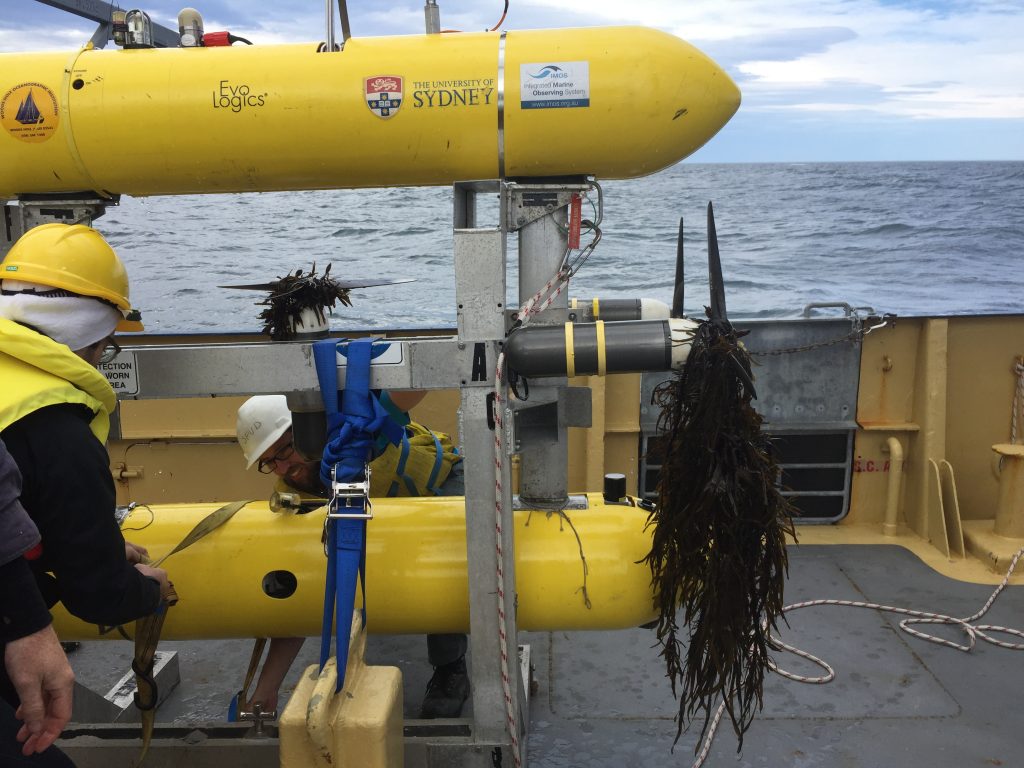
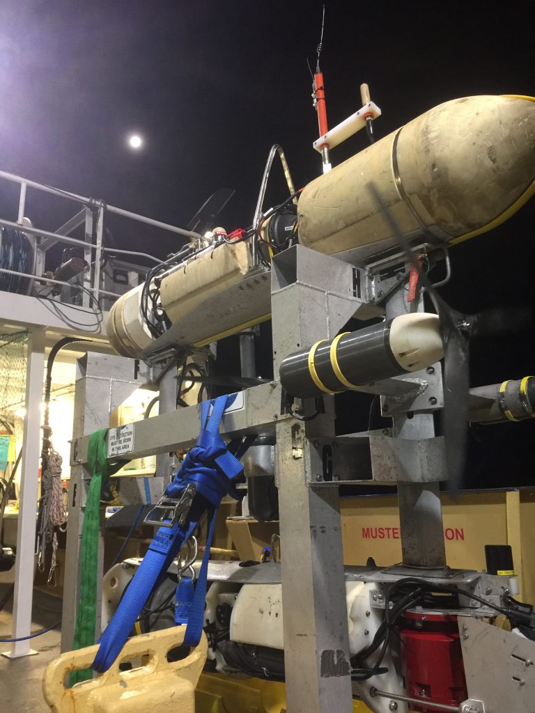
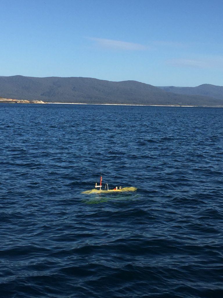
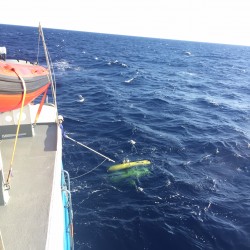
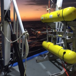
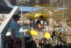
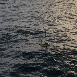
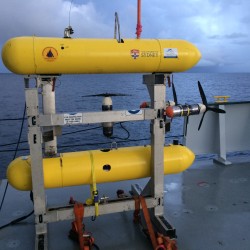
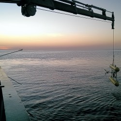
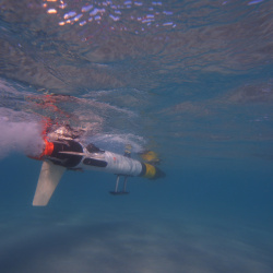
Preparing the AUV Sirius for deployment
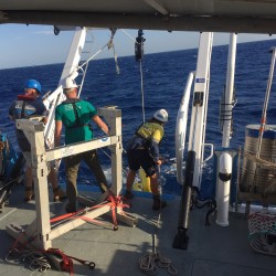
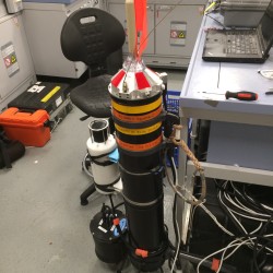
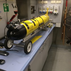
Testing the ROV
We also published the first paper describing the AUV work at Antikythera in the Field and Service Robotics conference held in Toronto in June 2015.
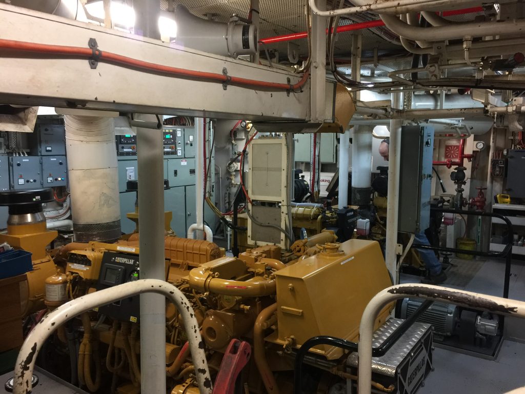
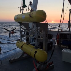
We are currently on a cruise deploying multiple, coordinated autonomous systems at Scott Reef on the Australian North West Shelf, approximately 400km north of Broome, WA. These deployments are seeking advance two related and complementary threads in oceanographic robotics:
robotic force-multiplication of research vessels using coordinated and complementary vehicles, and
untended, precisely navigated groups of small long-range benthic imaging robots.
This expedition has brought together a group of international PIs who have significant experience and resources in marine robotics field operations as well as a decade-long history of productive collaboration. Time on the Schmidt Ocean Institution vessel R/V Falkor has provided the opportunity to leverage our independent research programs into a robotic seafloor observing system of unprecedented scale and heterogeneity. The fielded system comprise autonomous underwater vehicles (AUVs), a glider, a Lagrangian imaging float and an autonomous surface vessels (ASV), all working collectively to deliver a comprehensive synoptic view of the benthos, seafloor structure, and relevant local oceanography.
The AUV Sirius was surveying sites east of Broughton Island on the NSW coast near Port Stephens as part of repeat IMOS AUV surveys. This area of the coast is well known as a Great White Shark nursery. This video shows a snippet of video taken from a forward looking camera on the vehicle which captured a juvenile shark having a look at the vehicle.
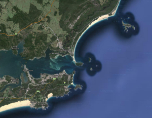
Andy and Stefan are in Port Stephens just north of Newcastle completing a survey just outside the mouth of Nelsons bay form Boulder Bay to Broughton Island.
Survey Area: Boulder Bay to Broughton Island
Sea urchins create urchin barren by grazing an area of all plant life. The urchins are then thought to recede due to a combination of lack of food and being eaten by predators such as grouper and snapper. It is hypothesised that if the number of the urchin predators in an area are reduced then the effects of the urchins are amplified allowing them to become destructive to the marine environment.
Second generation diver rig camera attached to scooter
Andy is off the coast of Far North Queensland as far north as the Saunders Reef imaging coral reefs, some which we had seen just before Tropical Cyclone Ita. This substantially damaged some parts of the reef and the current surveys are part of an effort to monitor its ability to recover giving us an idea of how well these delicate systems can recover from events like this.
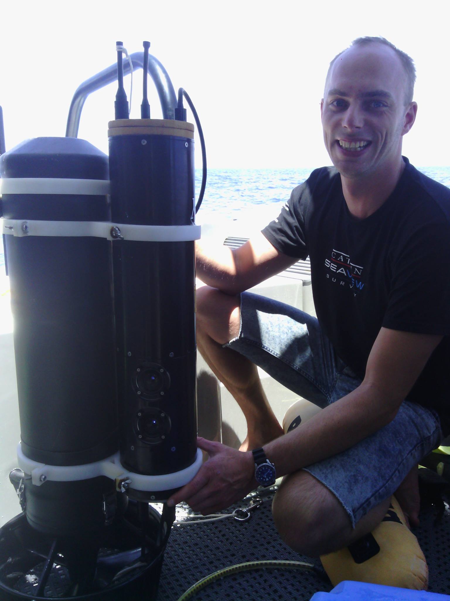
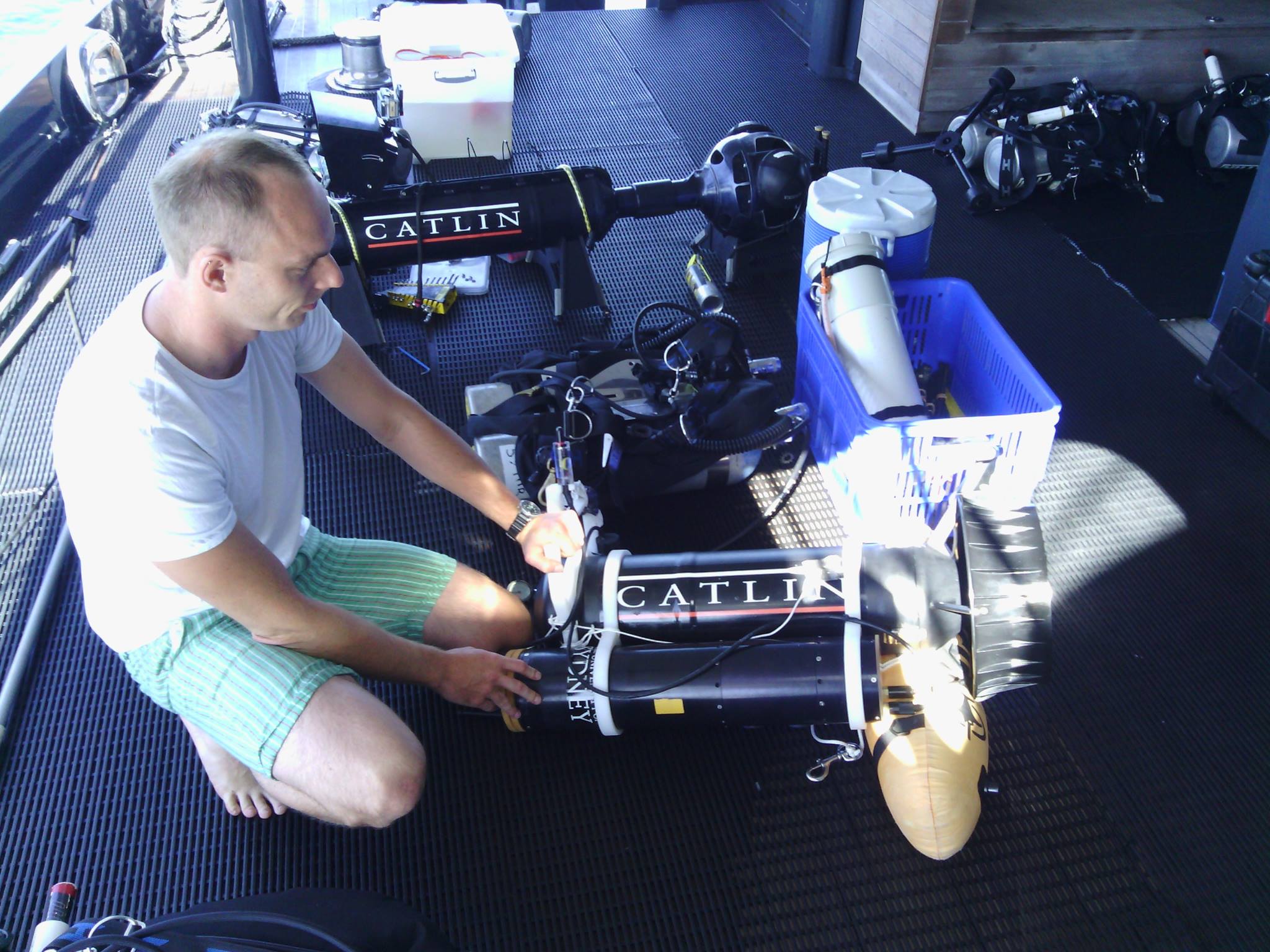
This collaboration with The University of Queensland and the Catlin Seaview Survey was headed up from our side by Oscar and we are using the 3D rugosity techniques that were developed by Ari to analyse the small scale habitats in the reef. Rugosity is a measure of the spacial complexity of the reef and a highly rugose reef structure is important for many species of fish for hunting and refuge and is a good indication of reef health.
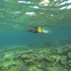
This is a diver based survey that uses the second generation diver rig camera that we finished developing earlier this year. In this case it is attached to an underwater scooter that allows more ground to be covered. It is far more robust than the original diver-held stereo imaging system and has many navigation sensors and stereo cameras that allow the 3D information to be collected.
Now we are nearing the end of the trip we have collected about half a million images over more that 30 dives covering in excess of 59 linear kilometres.
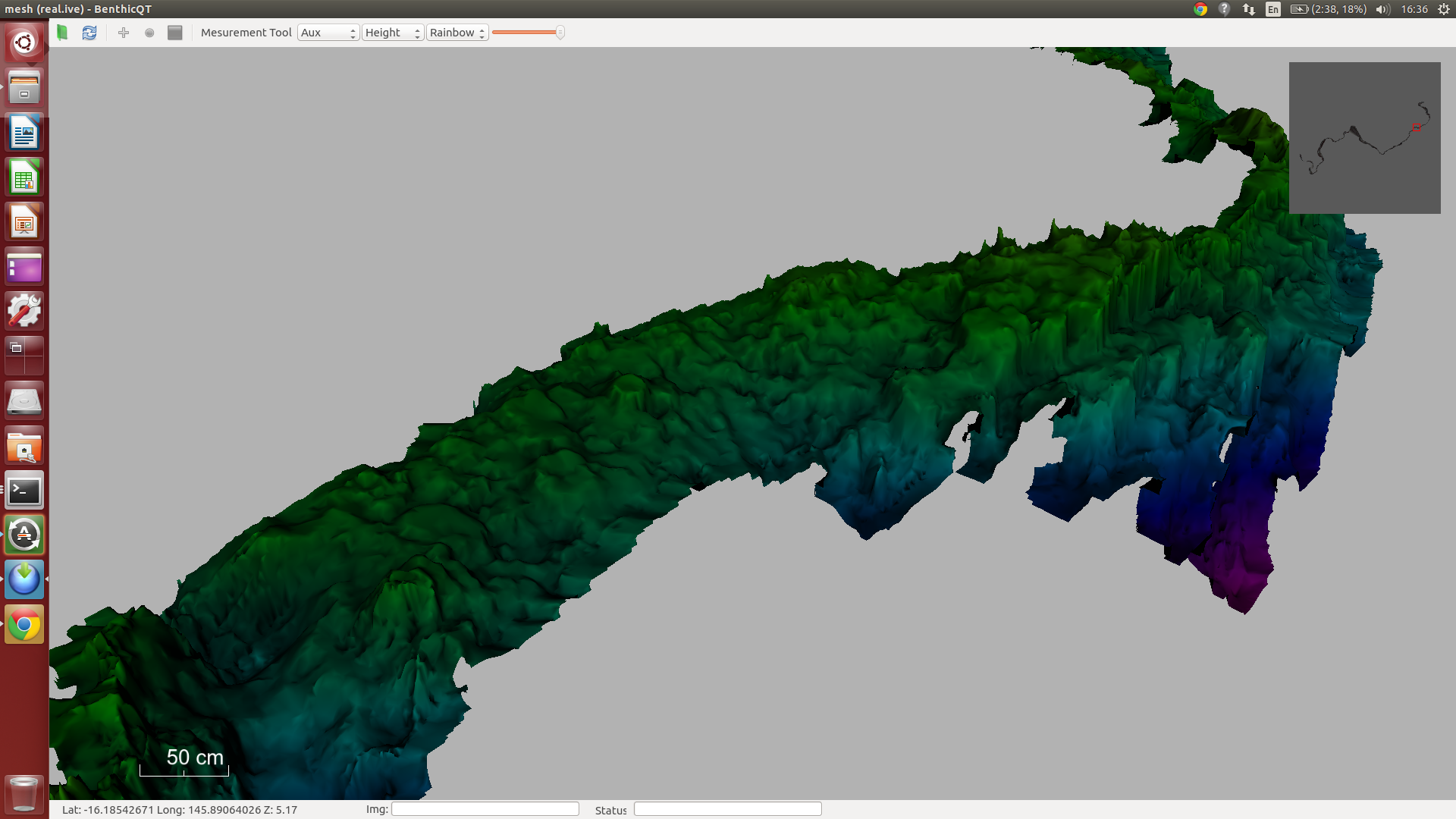
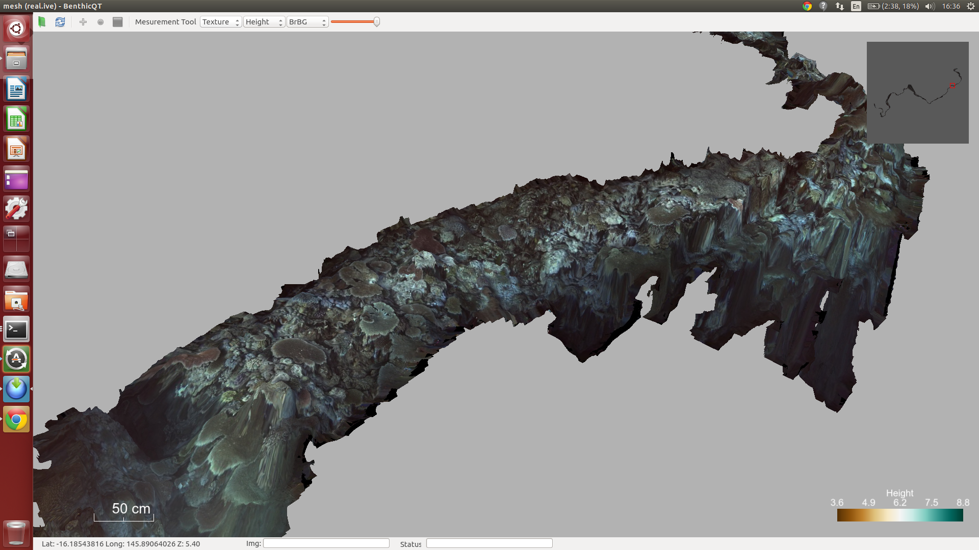
Checking the custom diver rig attachment to Catlin’s scooterSection of Opal Reef’s 3D structureThe same section showing the images overlayed
The AUV Sirius has completed surveys offshore of Bateman’s Bay as part of bi-annual surveys associated with the IMOS AUV Facility program. The surveys targeted reefs surveyed in 2010 and 2012 and will help scientists from the NSW Department of Primary Industries, the University of Sydney and the University of New South Wales in tracking changes in kelp dominated benthic habitats at these sites.
Oscar, Ari, Michael and Stefan were part of a team surveying Trimodal reef at Lizard Island Research Station. The objective was to produce a complete, 3D texture-mapped model of the reef covering approximately 5000 sq. m. We are working with scientists from St. Andrew’s in Scotland, Macquarie University and James Cook University. The scientists have been studying the site for in excess of 10 years. This is the first time they will have a comprehensive map of the reef with which to study detailed coral species interactions. We are also revisiting sites surveyed immediately following Cyclone Ita in April 2014 to assess the extent of recovery of these reefs. Repeat surveys at sites around the island will allow scientists to investigate how different parts of the reef have recovered.
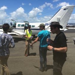
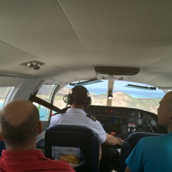
Our flight from Cairns
Our first view of the island
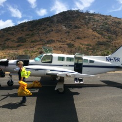
Landing on Lizard Island
The airport. Security seems fairly relaxed.
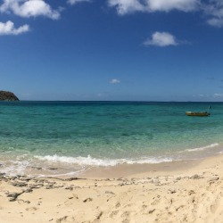
View from the beach at Palfrey Island overlooking Trimodal reef.
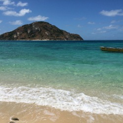
View along the beach.
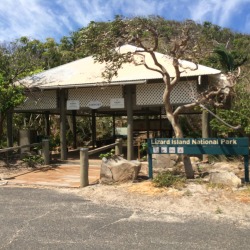
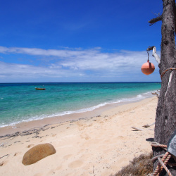
Shelter from the sun.
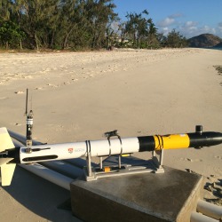
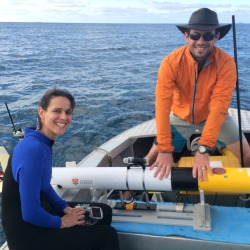
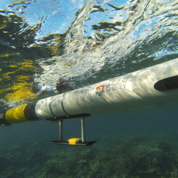
The Iver AUV surveying along the beach prior to deployment at the Trimodal Reef.
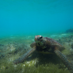
Turtle off Turtle Beach just out front of the Lizard Island Research Station.
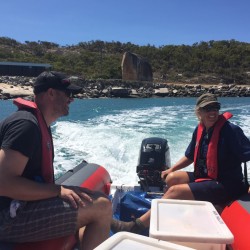
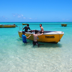
Our transport to and from the survey site.
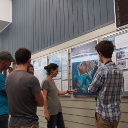
Planning out deployments.
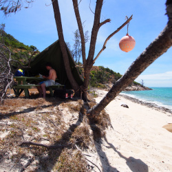
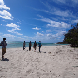
Having a look around at the beach.
Mike Bewley (ACFR) and Maria Dornelas (St. Andrews) after a successful dive.