After 10 days in the field, we have now packed up the AUV and associated equipment and are on our way back to Sydney. We were able to deliver a detailed, 3D map of the wreck site generated using some 42,000 images collected by the AUV Sirius during two dives. This model will now be used by the archaeological team to plan their excavation. Stay tuned to the project website for more details and on-going activity relating to the excavation. We’ll feature the resulting maps once they have been published.
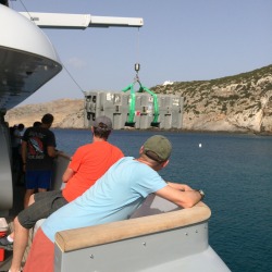
Unloading Sirius from aboard MY Glaros
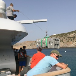
Unloading Sirius from aboard MY Glaros
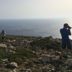
Taking the opportunity to explore a bit of Antikythera
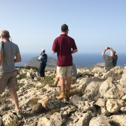
The peak of the island, with views North to Kythera and South East towards Crete
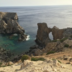
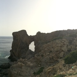
The stone arch
Panorama of the stone arch on the west side of the island
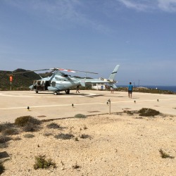
Our ride to Athens
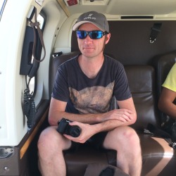
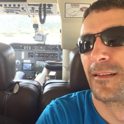
Travelling in style
Preparing for takeoff
And we’re off!
View of the town of Potamos and the Harboue
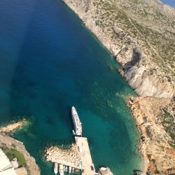
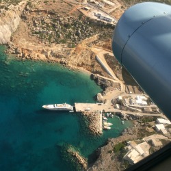
MY Glaros moored on the wharf
Potamos Harbour from the air
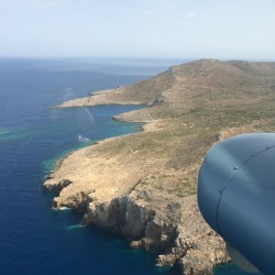
The NE coast of Antikythera, site of our surveying over the past week