Reef Records

A diver operates our diver held stereo imaging system, collecting imagery to allow us to reliably generate high-resolution models of reef environments.

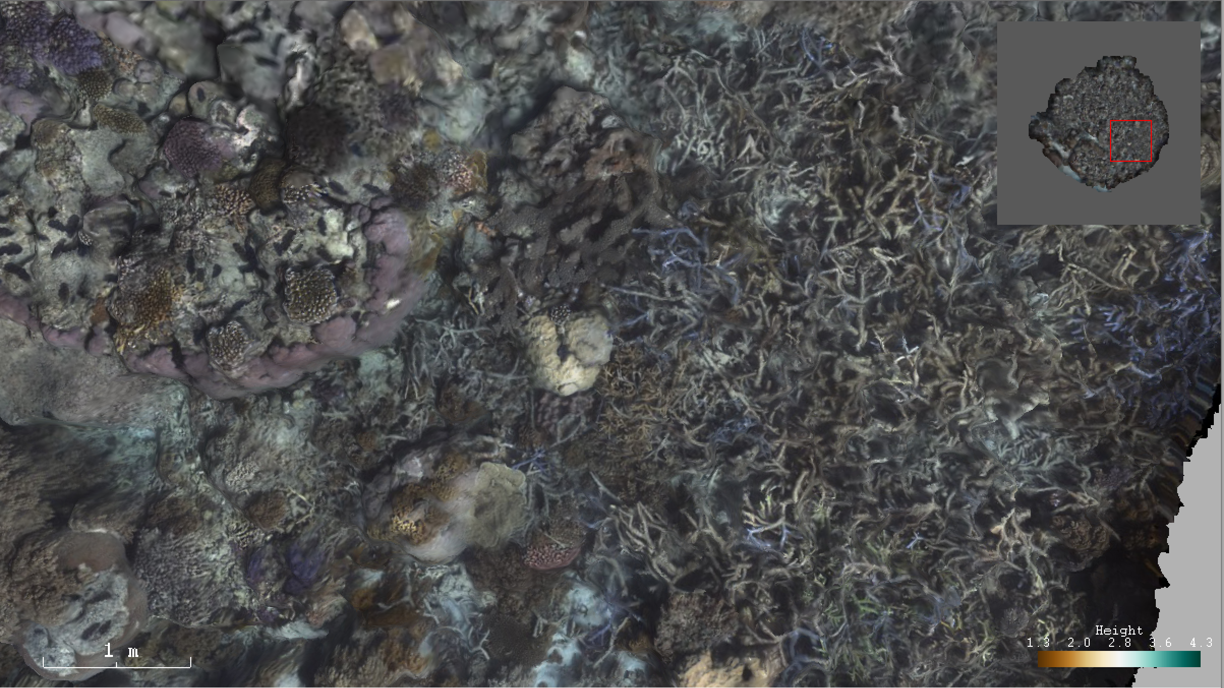
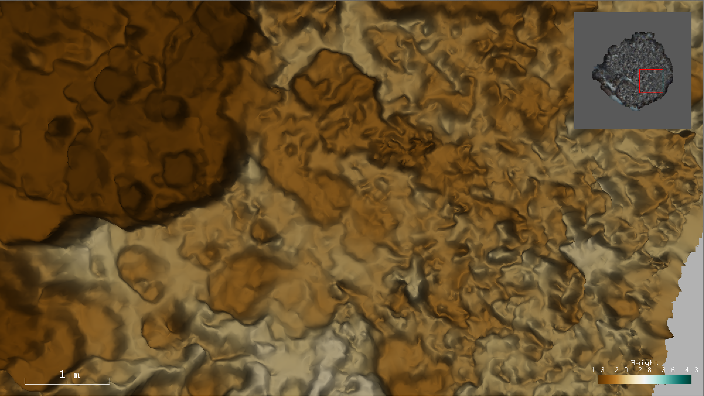
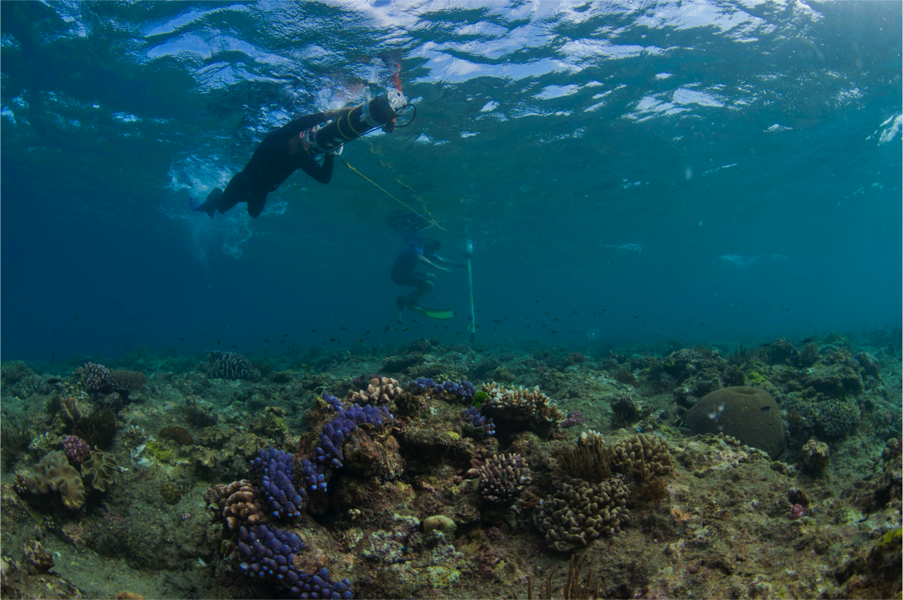
We have been pioneering methods for surveying both coral and temperate reefs using diver-held and AUV systems.  Our latest innovation allows us to reliably survey 100m2 areas with our diver operated system.  A pole is installed in the middle of the survey area with a rope wound around a 15cm diameter tube.  As the diver swims around the pole, the line is paid out allowing full coverage of the survey area to be achieved. This method was adopted during recent surveys of reefs at Lizard Island affected by Cyclone Ita.

ReefRecordStructure
An example of reef record collected at Lizard Island. The figure shows a 100m2 area of reef, with the texture mapped model on the left and the underlying 3D structure derived from stereo imagery on the right.
Details of the texture mapped 3D model of a portion of a reef at Lizard Island.
Details of the 3D model of a portion of a reef at Lizard Island.