Marine imaging workshop at JAMSTEC

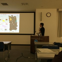
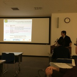
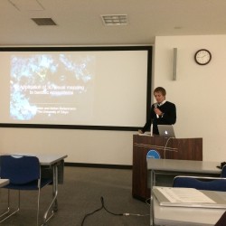
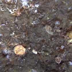
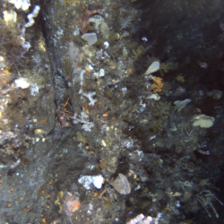
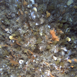
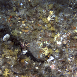
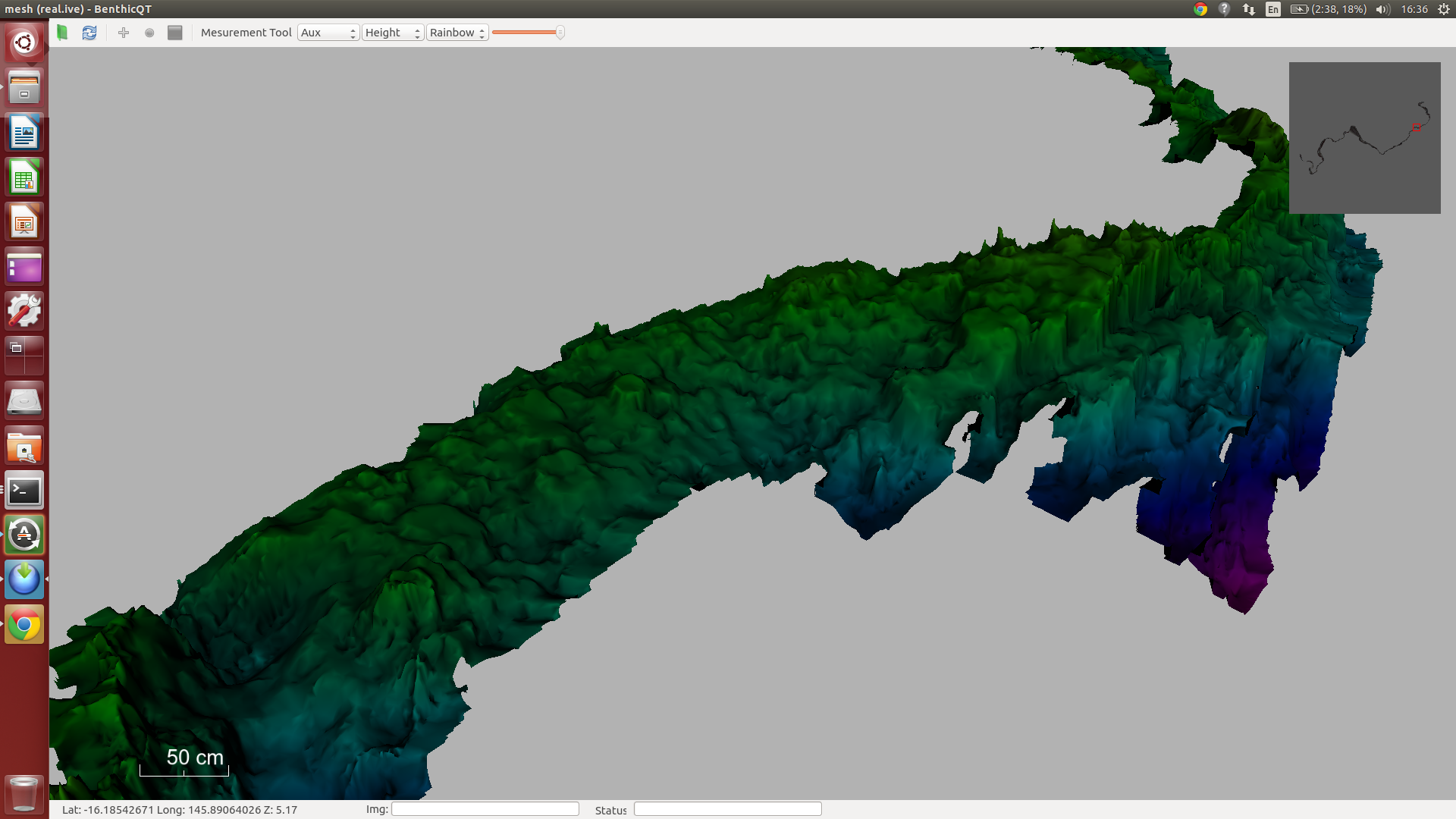
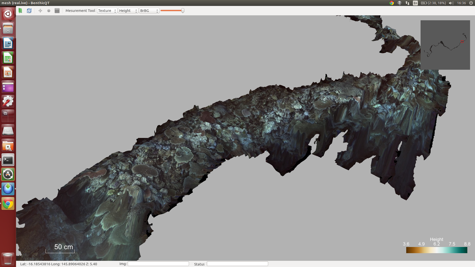
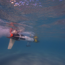
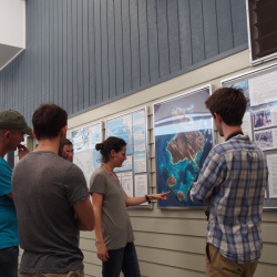
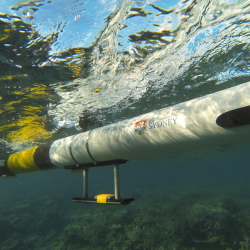
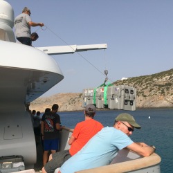
In collaboration with the Ocean Perception Laboratory at the Institute of Industrial Science (IIS) at the University of Tokyo, we organised a marine imaging workshop at JAMSTEC on March 12th, 2015.  The main aim of the workshop was to talk about the scientific rationale and the data collected during two cruises completed in 2014 in Japanese coastal waters.  These cruises resulted in large scale, 3D visual maps of the seafloor to help interpret the distribution of seafloor habitats in the Tōhoku region, and in hydrothermal vent fields in the Okinawa trough.  Talks focused the interpretation of the data and the distribution of various benthic organisms.

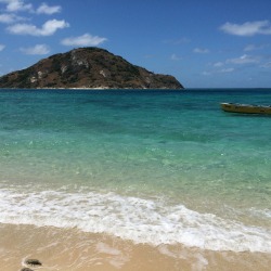
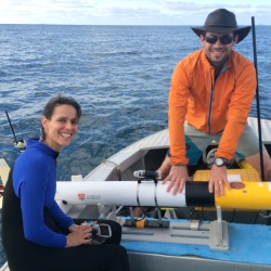
This trip is part of of the project ‘Understanding Marine Habitats off Tōhoku Using Underwater Robots’ and is supported by the Commonwealth through the Australia-Japan Foundation, which is part of the Department of Foreign Affairs and Trade.horizontal1_RGB


This slideshow requires JavaScript.

IMOS AUV Surveys at Maatsuyker Island CMR

The IMOS AUV group have been working with the University of Tasmania aboard the AMC vessel RV Bluefin to survey sites within the Commonwealth Marine Reserve at Maatsuyker Island on the South West tip of Tasmania.  After mobilising at Beauty Point, we had to wait out some bad weather, with strong winds and rough seas forecast over the weekend.  Monday morning dawned with relatively calm conditions so we headed out to the site to deploy the vehicle.  After a six hour mission we recovered the vehicle as the seas began to build.  The forecast for the rest of the week is pretty dire, with 7-10m swell predicted in the area so we have had to call it a day.  We will pick up a few additional sites around Bruney Island on the way back to Hobart.

Despite the relatively short time on site, we were able to collect a large number of seafloor images with the reserve.  A few sample images showing dense brittle stars, rock lobsters, sponge gardens and soft corals appear below.

This slideshow requires JavaScript.

Port Stephens Close Encounter

The AUV Sirius was surveying sites east of Broughton Island on the NSW coast near Port Stephens as part of repeat IMOS AUV surveys.  This area of the coast is well known as a Great White Shark nursery.  This video shows a snippet of video taken from a forward looking camera on the vehicle which captured a juvenile shark having a look at the vehicle.

Port Stephens Urchin Barren Survey

Andy and Stefan are in Port Stephens just north of Newcastle completing a survey just outside the mouth of Nelsons bay form Boulder Bay to Broughton Island.

Survey Area: Boulder Bay to Broughton Island

Sea urchins create urchin barren by grazing an area of all plant life. The urchins are then thought to recede due to a combination of lack of food and being eaten by predators such as grouper and snapper. It is hypothesised that if the number of the urchin predators in an area are reduced then the effects of the urchins  are amplified allowing them to become destructive to the marine environment.

photo 3
Getting Sirius ready to deploy


Post Tropical Cyclone Ita Diver Rig Survey

Second generation diver rig camera attached to scooter

Andy is off the coast of Far North Queensland as far north as the Saunders Reef imaging coral reefs,  some which we had seen just before Tropical Cyclone Ita. This substantially damaged some parts of the reef and the current surveys are part of an effort to monitor its ability to recover giving us an idea of how well these delicate systems can recover from events like this.

This collaboration with The University of Queensland and the Catlin Seaview Survey was headed up from our side by Oscar and we are using the 3D rugosity techniques that were developed by Ari to analyse the small scale habitats in the reef. Rugosity is a measure of the spacial complexity of the reef and a highly rugose reef structure is important for many species of fish for hunting and refuge and is a good indication of reef health.

This is a diver based survey that uses the second generation diver rig camera that we finished developing earlier this year.  In this case it is attached to an underwater scooter that allows more ground to be covered. It is far more robust than the original diver-held stereo imaging system and has many navigation sensors and stereo cameras that allow the 3D information to be collected.

Now we are nearing the end of the trip we have collected about half a million images over more that 30 dives covering in excess of 59 linear kilometres.

10821914_571926830290_1622656631_o
Checking the custom diver rig attachment to Catlin’s scooter
Section of Opal Reef’s 3D structure
The same section showing the images overlayed

AUV Sirius at Bateman’s Bay

The AUV Sirius has completed surveys offshore of Bateman’s Bay as part of bi-annual surveys associated with the IMOS AUV Facility program.  The surveys targeted reefs surveyed in 2010 and 2012 and will help scientists from the NSW Department of Primary Industries, the University of Sydney and the University of New South Wales in tracking changes in kelp dominated benthic habitats at these sites.

Lizard Island

Oscar, Ari, Michael and Stefan were part of a team surveying Trimodal reef at Lizard Island Research Station.  The objective was to produce a complete, 3D texture-mapped model of the reef covering approximately 5000 sq. m.  We are working with scientists from St. Andrew’s in Scotland, Macquarie University and James Cook University.  The scientists have been studying the site for in excess of 10 years.  This is the first time they will have a comprehensive map of the reef with which to study detailed coral species interactions.  We are also revisiting sites surveyed immediately following Cyclone Ita in April 2014 to assess the extent of recovery of these reefs.  Repeat surveys at sites around the island will allow scientists to investigate how different parts of the reef have recovered.

This slideshow requires JavaScript.

Return to Antikythera – Highlights

The team from Antikythera put together this video highlighting the work we did with the AUV Sirius to map the wreck site.  You can see some views of the 3D map we built. The team are using this to track the location of artefacts recovered during the diving operations.

There is also a video showing some of the finds from the expedition that has been posted by the project team.  The model of the wreck site we built features in the first part of this video with an interesting transition to live footage of the ship’s anchor stock.

Return to Antikythera – Wrapping Up

After 10 days in the field, we have now packed up the AUV and associated equipment and are on our way back to Sydney.  We were able to deliver a detailed, 3D map of the wreck site generated using some 42,000 images collected by the AUV Sirius during two dives.  This model will now be used by the archaeological team to plan their excavation. Stay tuned to the project website for more details and on-going activity relating to the excavation.  We’ll feature the resulting maps once they have been published.

This slideshow requires JavaScript.